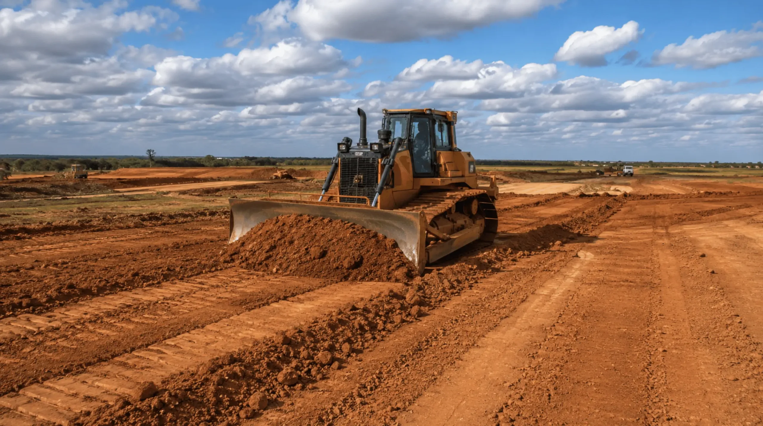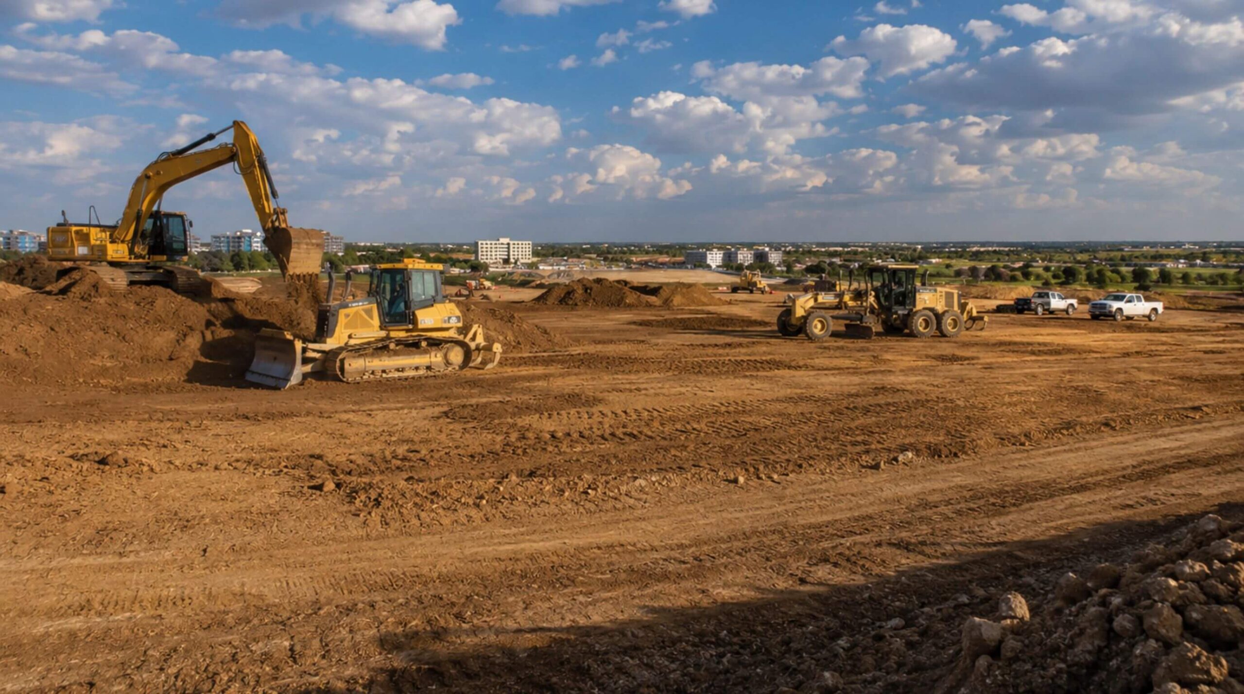

Erosion control and sediment control are two different jobs, and a site that confuses them fails inspections in both directions. Erosion controls keep soil where it is: cover, mulch, seed, blankets, and the dikes and swales that keep runoff from crossing bare ground. Sediment controls catch the soil that moves anyway: fences, berms, inlet barriers, traps and basins. The Environmental Protection Agency organizes its national menu of construction practices on exactly that split, with runoff control and good housekeeping as the third and fourth groups4, and the Texas construction general permit expects a Stormwater Pollution Prevention Plan to draw from each group for the site in front of it rather than copy the last one1.
This is the catalog: what each control is for, where it belongs, how it is specified in Texas, and what fails first. It is written for North Texas ground, which changes some of the answers. Clay runs off rather than soaking in, it blinds fabric, and it stays suspended in water long after sand has settled. The regional iSWM construction manual rates a sediment basin's effectiveness at 0.90 on sand and 0.50 on clay3, which is the most useful number on this page: on Blackland sites, keeping the soil in place is worth about twice what catching it is.
Erosion controls: keeping the soil where it is
Mulch and hydraulic mulch
Mulching stabilizes exposed or freshly seeded soil with straw, hay, wood chips, wood fiber or gravel, and it does its best work combined with seeding, because it holds seed, fertilizer and moisture in place while the stand comes up10. On steep slopes and near water, loose mulch needs netting, anchoring or a tackifier, or a hydraulically applied mulch takes its place10. On Texas state work, temporary and permanent seeding sit in the list of control measures under Item 506, and every erosion and sediment control device has to come from the Erosion Control Approved Products List15.
Seeding
Seeding is the erosion control that ends the job, because the permit's definition of final stabilization is a uniform perennial vegetative cover with a density of at least 70 percent of the native background cover on every unpaved area not covered by a permanent structure1. EPA describes permanent seeding as the right choice for roughly graded areas that will not be regraded for at least a year11. TxDOT's Item 164 buys seed by pure live seed, purity times germination, under the Texas Seed Law, sets its rates for drill seeding and raises them 25 percent for any other method, and publishes a permanent rural mix by district and by soil. For the Fort Worth district on clay soils the mix is hooded windmillgrass, white tridens, sideoats grama, little bluestem, buffalograss, silver bluestem, green sprangletop, sand dropseed and Canada wildrye16. That table is the closest thing to a regional answer to "what do we plant" that exists in a public specification.
Erosion control blankets
Blankets hold seed and soil in place until vegetation establishes, and iSWM names slopes, embankments and small swales as where they earn their keep3. TxDOT calls them soil retention blankets and specifies them in four dimensions: moderate slopes at 3:1 or flatter against steep slopes steeper than 3:1, clay against sandy soil, rolled against sprayed product, and a duration class in which a rolled short-term blanket lasts up to 12 months and a long-term one 12 to 35 months17. Channel blankets are specified by the shear stress they must survive, 2, 4, 6 or 8 pounds per square foot17. The blanket goes down within 24 hours of seeding, over ground mowed to 4 inches and cleared of the rocks and clods that would hold it off the soil17. EPA's fact sheet covers the materials: woven and non-woven geotextiles, and matting and netting of jute, coir and wood fiber that hold mulch and seed while plants take12.
Check dams, dikes and slope drains
Three controls manage water that is already running rather than the ground it runs over. A check dam is a small temporary structure in a swale or ditch that reduces flow velocity; EPA's guidance is to space them so the base of the upstream dam sits at the elevation of the top of the downstream dam, to key the material at least 6 inches into the sides and bottom of the channel, and never to rely on them for sediment trapping alone8. iSWM's erosion section adds the diversion dike, which keeps clean runoff off disturbed ground, and the interceptor swale, which cuts a long slope into shorter ones3. A temporary pipe slope drain carries concentrated flow down a fill slope in a pipe instead of letting it cut a gully; TxDOT specifies the pipe, fittings and flared entrance under Item 50615.
Sediment controls: catching what moves
Silt fence
Silt fence is a temporary barrier of porous fabric on posts; the fabric impounds sediment-laden runoff so the soil settles behind it5. It works only on sheet flow. iSWM places it on the downslope perimeter of disturbed areas and warns that where flows concentrate, at an inside corner or across a gully, the fence has to be backed by a rock or sandbag berm3. The same manual carries the caution that matters most here: silt fence is most effective on coarse to silty soils and should be used with caution where the soil is predominantly clay, because it clogs and the fine fraction passes through or over it3. EPA's sheet is blunter: poor placement can make the fence a complete waste, and the site's contours decide where it goes5. TxDOT's temporary sediment control fence is net-reinforced: fabric to DMS-6230, posts at least 48 inches long, and galvanized welded wire of at least 12.5 gauge with openings no larger than 2 by 4 inches behind the fabric15. DMS-6230 defines that fabric as a woven geotextile whose primary use is control of sediment in surface runoff, sampled and tested to the department's methods and carried on a material producer list19.
Rock filter dams and sandbag berms
Where fabric cannot stand, rock does. Item 506 specifies four types of rock filter dam, built of 3 to 6 inch aggregate for Types 1, 2 and 4 and 4 to 8 inch aggregate for Type 3, with galvanized wire mesh holding Types 2 and 3 together and a double-twisted hexagonal mesh basket for Type 415. Sandbags for berms are woven polypropylene, polyethylene or polyamide filled with coarse sand, 24 to 30 inches long and 6 to 8 inches thick15. Both belong at the mouths of swales, below stockpiles, and at the corners of a fence line where the flow concentrates.
Inlet protection
Inlet protection keeps soil out of the storm drain, and EPA calls it often the last opportunity to treat runoff before it leaves the site6. Internal inserts catch only larger sediment; external barriers of stone, gravel or fabric impound water around the inlet so the sediment settles first6. iSWM is clear about its rank: it is a secondary barrier, a backup behind newly applied erosion controls, and may serve as a primary control only when every other primary control is infeasible3. The manual's schematics cover the inlets North Texas cities actually build, weir curb inlets, on-grade curb inlets and area inlets, in block-and-gravel, filter fabric and organic filter tube versions3.
Stabilized construction exit
The exit is the control the neighbors notice. A pad of gravel over filter cloth where traffic leaves the site knocks mud off the wheels, and the cloth separates the stone from the soil beneath so the pad does not sink or rut7. iSWM adds a second purpose: one exit, or two on a large site, channels traffic so vehicles stop driving over the other controls3. TxDOT's rock construction exit uses 4 to 8 inch aggregate for Type 1 and 2 to 4 inch for Type 3 over a foundation course, with a timber exit of railroad ties as the long-term alternative15. A wash station with its water routed to a sediment trap is the upgrade when a pad is not enough7.
Sediment traps and basins
A basin lets water impound in an excavated or natural depression so sediment settles, dewatered through a riser and outlet on an earthen embankment or through the voids of a rock dam; rock dams suit drainage areas under 50 acres9. The permit requires a basin or similar impoundment, where feasible, at any common drainage location serving ten or more acres disturbed at one time, sized to hold the runoff of a 2-year, 24-hour storm from each disturbed acre, or 3,600 cubic feet of storage per acre drained where rainfall data is not available or the calculation cannot be performed1. Below ten acres, traps and basins are optional and silt fence, vegetative buffer strips or an equivalent are the minimum on every downslope boundary1. iSWM sizes basins, details a surface skimmer and an overflow riser, and rates their efficiency by soil: 0.90 on sand and sandy loam, 0.75 on silt loam and silty clay loam, 0.50 on clay loam and clay3. On clay, drawdown time is the design. The water has to sit long enough for particles that do not want to settle.
Dust
Dust is erosion by wind, and on a summer clay site it is the control that gets the phone call. EPA treats it as both a water and an air problem, since airborne soil lands in waterbodies and raises particulate matter, PM10 and PM2.5, in the surrounding area, and its first illustration of a measure is a truck with a spray system watering the site13. Item 506 lists vertical tracking, running equipment up and down a slope so its treads leave horizontal grooves, among its control measures15.
The catalog in one table
| Control | Job | Where it goes | Specified to | What fails first |
|---|---|---|---|---|
| Mulch and hydromulch | Erosion | Fresh seed, open slopes | Item 506, Approved Products List15 | Blown or washed off without netting or a tackifier10 |
| Seeding | Erosion, final stabilization | Every unpaved area | Item 164, pure live seed rates by district16 | Cover short of 70 percent of native background1 |
| Erosion control blanket | Erosion | Slopes, embankments, small swales | Item 169, DMS-637017 | Held off the soil by clods, not anchored17 |
| Check dam | Runoff | Swales and ditches | EPA spacing rule8 | Scour around the ends, silt to the crest8 |
| Diversion dike, interceptor swale | Runoff | Above disturbed ground | iSWM3 | A breach at the low point |
| Silt fence | Sediment | Downslope perimeter, sheet flow only | Item 506, DMS-62301519 | Undercut, overtopped, blinded by clay3 |
| Rock filter dam, sandbag berm | Sediment | Concentrated flow, swale mouths | Item 506 aggregate by type15 | Silt to the crest, displaced rock |
| Inlet protection | Sediment, secondary | Every inlet downstream of disturbance | iSWM schematics3 | Bypassed at the curb, clogged fabric6 |
| Stabilized exit | Sediment | The one or two places trucks leave | Item 506 rock sizes15 | Track-out on the street, pad sunk in mud7 |
| Sediment basin | Sediment | Common drainage point, ten acres or more | CGP 3,600 cubic feet per acre; iSWM13 | Short drawdown on clay, riser clogged9 |
| Dust control | Erosion by wind | Haul roads, open pads | EPA; Item 5061315 | A visible plume leaving the site |
Specified, not improvised
Every control on this page has a public specification behind it, and the specification is what turns a good intention into a pay item an inspector can accept. On Texas state work the products come off the Erosion Control Approved Products List, which TxDOT builds from field testing at the Texas Transportation Institute's Sediment and Erosion Control Laboratory and which covers rolled and spray-on erosion control, sediment retention devices and revegetation products18. Item 506 describes its scope as installing, maintaining and removing the controls, requires installation and maintenance to the manufacturer's or designer's specifications, and ties the whole item to compliance with the construction general permit15. Private and municipal work in the metroplex more often references the iSWM manual, whose schematics carry the same level of detail for the region's own inlet and channel types3.
The inspection and maintenance clock
A control that is not maintained is a violation with a fence around it. The permit requires inspection of the site at least once every 14 calendar days and within 24 hours of the end of a storm of 0.5 inches or greater, or on an alternative schedule of once every 7 calendar days regardless of rain, and the schedule may change at most once a calendar month1. EPA sorts inspections into three kinds, routine, before a rain event and after one, and its advice for the day before a forecast storm is to walk the site and fix what is damaged before the water arrives14. What the walk finds is specific to each control: sediment against a fence, a check dam silted to the crest, an inlet barrier bypassed at the curb, a pad that has disappeared into the mud, a basin that has lost its storage. The maintenance is inside the pay item on state work, and inside the scope on everything else15.
Stabilization is how it ends
The catalog closes with the clock that matters most. Where earth-disturbing activity has temporarily or permanently ceased, the permit requires stabilization to begin immediately, meaning as soon as practicable and no later than the end of the next work day, and to be completed within 14 calendar days of starting, with exceptions for frozen ground and drought1. When final stabilization is reached on everything the operator is responsible for, a Notice of Termination goes to TCEQ within 30 days, with a copy to the operator of any municipal separate storm sewer system receiving the discharge1. The permit in force is the renewal TCEQ issued with an effective date of March 5, 20232.
IRONWILL Earthworks installs, maintains and removes these controls as part of the grading scope rather than as a trade that arrives afterward. The perimeter goes in before the first cut, the exit is built where the trucks actually leave, the basin is dug with the mass grading, and the inspection log is kept by the people running the site. On Blackland clay we plan for the numbers above: fabric that blinds, water that stays muddy, and a basin that needs time more than it needs size.