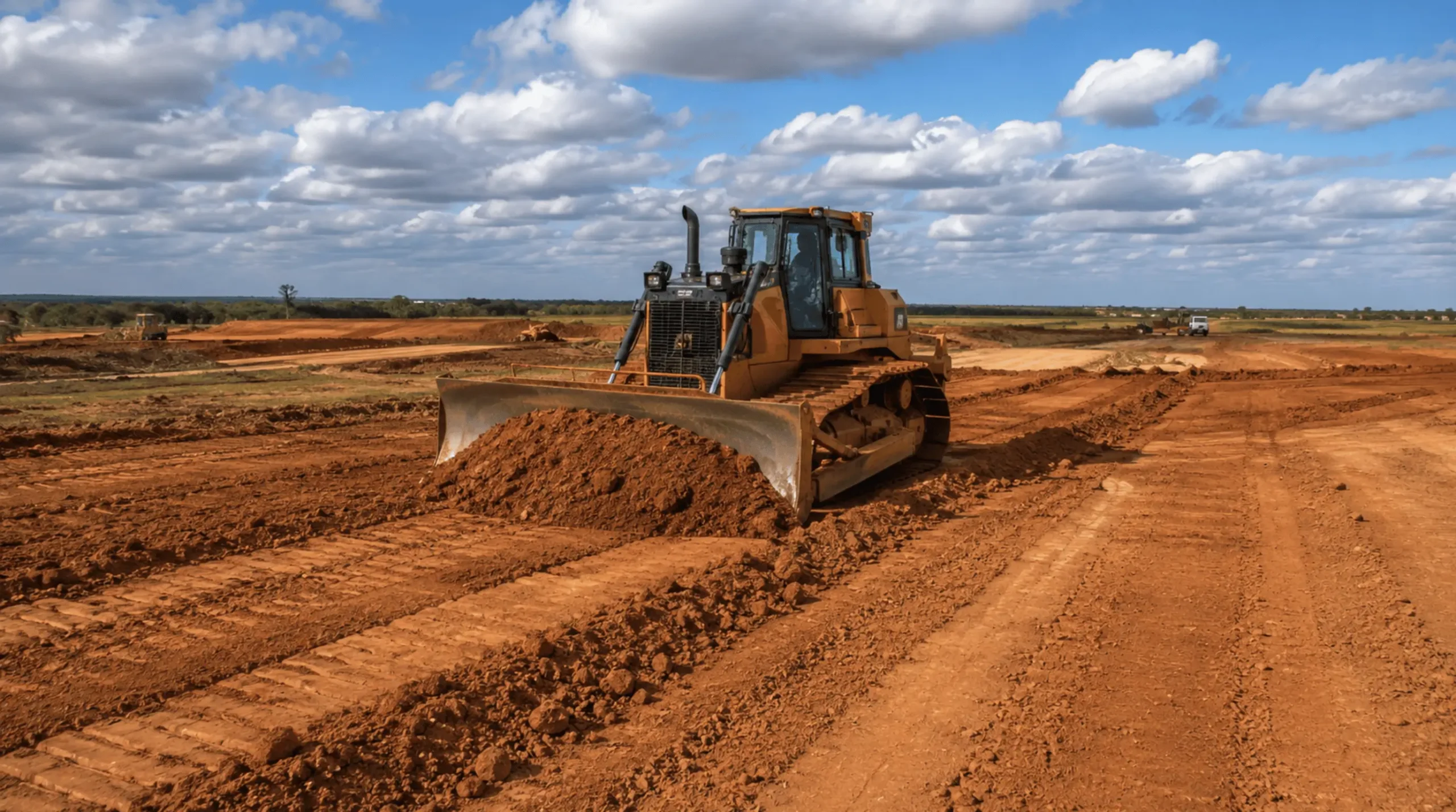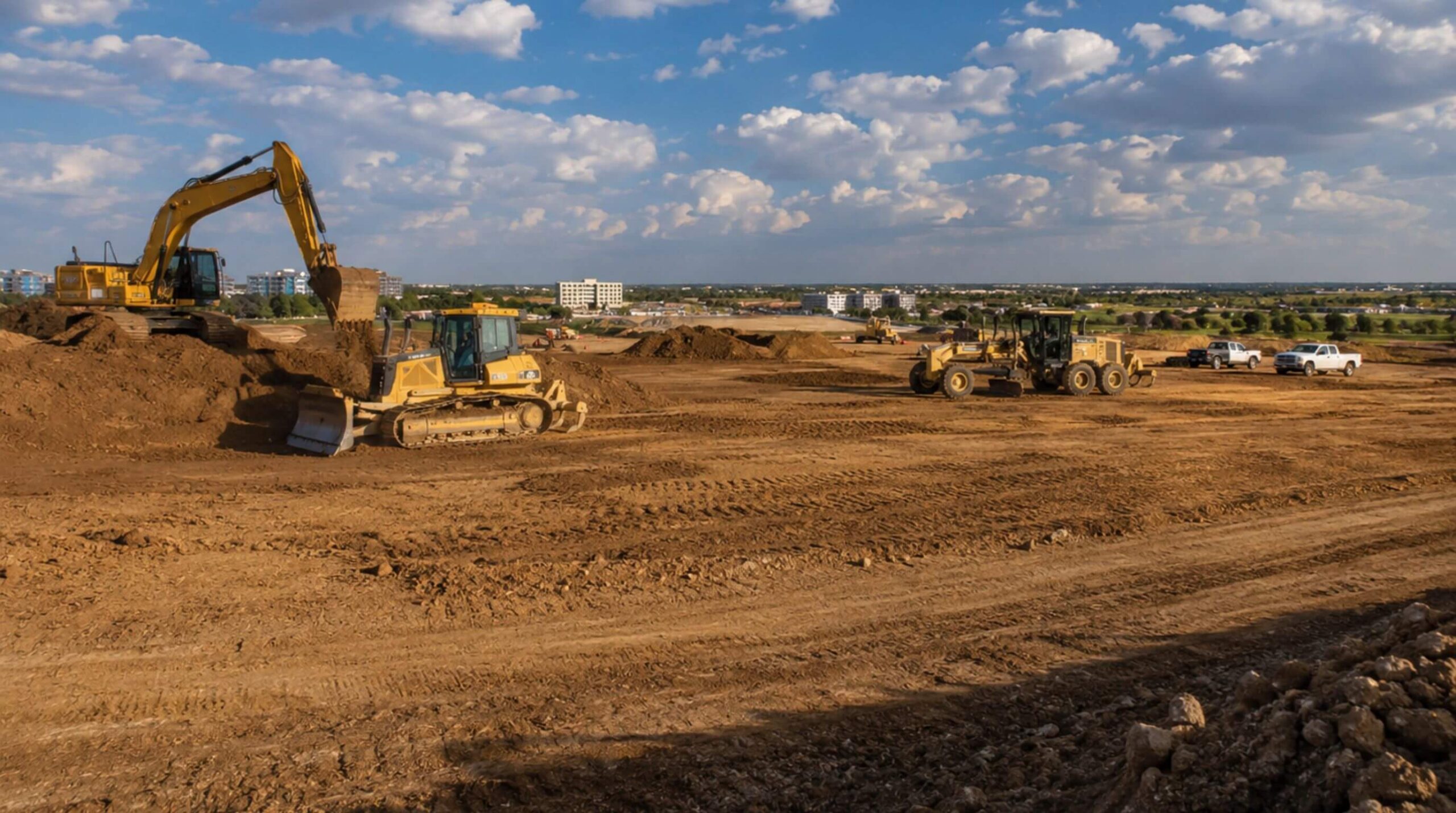

Land improvement is a mild phrase for a serious act. Every improvement worth paying for changes what water does on the property: where it collects, how fast it leaves, which way it runs and whose land it runs onto next. A pad raised two feet, a swale cut across a field, a pond dug at the low corner, a creek bank shaped back to a stable slope. All of it is earthwork, and all of it is a change to a drainage pattern that somebody downstream is already living with.
That is why land improvement is the earthwork scope with the most law attached to it. Three separate bodies of rule apply, written by three different authorities, and they do not ask the same question. The federal floodplain criteria ask what your fill does to flood elevations. The state's water quality law asks what leaves your site. And a Texas statute that predates both asks the oldest question of all: does your improvement put water on your neighbor.
The Texas statute that decides most arguments
Start with the one that is least often quoted and most often litigated. Section 11.086 of the Texas Water Code says that no person may divert or impound the natural flow of surface waters in this state, or permit a diversion or impounding by him to continue, in a manner that damages the property of another by the overflow of the water diverted or impounded1. The next subsection supplies the teeth: a person whose property is injured by an overflow caused by an unlawful diversion or impounding has remedies at law and in equity, and may recover damages occasioned by the overflow1.
Read that as an owner about to improve a piece of land. The rule is not about permits, and no agency has to be involved for it to bite. It creates a private right of action for the neighbor. A pad built up so the building sits dry, with the displaced water finding the fence line, is not merely a design oversight. It is the fact pattern the statute was written for.
The statute does carve out room to work. It does not affect the construction and maintenance of levees and other improvements built to control floods, overflows and freshets in rivers, creeks and streams, nor canals conveying water for irrigation or other authorized purposes, although that allowance does not permit a canal, lateral or ditch that obstructs a river, creek, bayou, gully, slough, ditch or other well defined natural drainage1. And where gullies or sloughs have cut into the bank of a river or creek and let floodwater out onto neighboring land, the owner of the flooded land may fill their mouths up to the height of the adjoining banks without liability to other owners1. Those are narrow exceptions. The general rule stands: the natural flow is a thing you are allowed to manage and not allowed to redirect onto somebody else.
The practical consequence for us is a hard line about drawings. Where an improvement changes a drainage pattern, the design belongs to a civil engineer who has run the numbers, and we build what the engineer's plan shows. A grade shaped to a preference is a grade nobody can defend later.
Where the land sits in a mapped flood hazard
If any part of the property is in mapped flood hazard, a second set of rules governs the fill itself. The base flood, in the federal definition, is the flood having a one percent chance of being equalled or exceeded in any given year2. The regulatory floodway is the channel of the watercourse plus the adjacent land that has to be reserved in order to discharge that base flood without cumulatively raising the water surface more than a designated height2. Those two definitions do most of the work, because they divide a flood hazard area into two zones where the answer to "may we place fill here" is completely different.
Inside the floodway, the answer is effectively no. Communities in the National Flood Insurance Program must prohibit encroachments, including fill, new construction, substantial improvements and other development within the adopted regulatory floodway unless it has been demonstrated through hydrologic and hydraulic analyses performed in accordance with standard engineering practice that the proposed encroachment would not result in any increase in flood levels within the community during the occurrence of the base flood discharge3. Not a small increase. No increase, proven by analysis before the work.
Outside the floodway but inside the flood hazard area, there is a budget rather than a prohibition: proposed development has to be reviewed to assure that, combined with all other existing and anticipated development, it will not increase the water surface elevation of the base flood more than one foot at any point within the community3. That is a cumulative test, which is the part owners find counterintuitive. Your fill is measured against everyone else's fill, so the answer can depend on what a neighbor built two years ago.
Improvement work that changes flooding conditions also creates a filing duty, and it is one most owners have never heard of. Federal rule states that a community's base flood elevations may increase or decrease as a result of physical changes affecting flooding conditions, and that as soon as practicable but not later than six months after that information becomes available, the community shall notify the Administrator by submitting technical or scientific data, so that insurance rates and floodplain management requirements rest on current data4. Two things follow. The clock is six months, not whenever the last lot sells. And the submission is made in writing by the community's chief executive officer or an official the CEO designates4, so the owner's engineer prepares it but the city files it. A parcel's revised status ends up on the map the lender and the insurer read, rather than in an opinion in a closing file.
Where the water leaves the property
The third body of rule governs what comes off the site while the work is happening and after it. Texas water quality law prohibits unauthorized discharges outright: except as authorized by the commission, no person may discharge waste into or adjacent to any water in the state, or commit any other act which in itself or together with other discharges or activities causes or will cause pollution of any water in the state5. Sediment washing off a graded site is exactly that kind of act, which is why a construction project is a permitted discharge operation rather than an unregulated one.
The authorization comes through the state's construction general permit, TXR150000. Construction that disturbs an acre or more of soil and discharges to surface water in Texas needs authorization under it; large construction activity is defined as disturbing five or more acres, or being part of a larger common plan of development or sale that will disturb five or more acres, and small construction activity as disturbing at least one but less than five acres on the same basis6. Either way, the operator has to develop and implement a stormwater pollution prevention plan before construction begins6. On an improvement job the plan matters more than usual, because the finished condition often depends on vegetation that has not established yet.
Where the feature being improved is itself water, a federal permit may be needed on top of all of it. Whether a creek, a pond or a wetland on the property counts as a water of the United States turns on the definition at 33 CFR 328.37, and that determination is the engineer's and the Corps', not the contractor's. We ask the question early because the answer changes the scope, not just the schedule.
What is being changed, and what governs the change
| What the work changes | What governs it | The test it has to pass |
|---|---|---|
| Fill placed inside the regulatory floodway | Federal floodplain management criteria, 44 CFR 60.33 | Hydrologic and hydraulic analyses to standard engineering practice showing no increase in flood levels during the base flood discharge3 |
| Fill placed in the flood hazard area outside the floodway | Federal floodplain management criteria, 44 CFR 60.33 | Cumulative effect with all other existing and anticipated development raises the base flood no more than one foot at any point in the community3 |
| The path the natural surface flow takes | Texas Water Code Section 11.0861 | No diversion or impounding that damages another's property by overflow; the neighbor's remedy is private1 |
| What runs off during the work | Texas Water Code Section 26.121 and general permit TXR15000056 | Authorization at one acre disturbed, and a stormwater pollution prevention plan implemented before construction begins6 |
| Work in or beside a creek, pond or wetland | Definition of waters of the United States, 33 CFR 328.37 | A jurisdictional determination, and federal authorization where the feature is regulated water7 |
| Detention and the rate water leaves the site | Regional stormwater criteria adopted locally, iSWM8 | The community's adopted criteria for water quality protection, streambank protection and flood mitigation8 |
| The parcel's mapped flood status after the work | Requirement to submit new technical data, 44 CFR 65.34 | Technical or scientific data submitted to FEMA within six months of the physical change, filed by the community4 |
Detention is the engineered answer to most of it
Almost every improvement that adds hard surface or raises ground has to give the water somewhere to wait. Across North Texas the criteria for how that is done are regional: iSWM is a cooperative initiative that helps cities and counties meet goals of water quality protection, streambank protection and flood mitigation, with more than 60 local governments cooperating on the guidance and a criteria manual that communities may adopt as part of their own development regulations8. The practical effect is that a detention basin on a site in one city is sized and shaped by criteria the city next door probably also uses, and the earthwork contractor building it should know which manual the plan was drawn against.
Detention is also the part of an improvement most often built wrong by accident. A basin that holds the design volume but does not drain to its outfall is not detention, it is a pond. A basin cut to the right contour with a compacted bottom the plan did not call for will not infiltrate as designed. An outlet structure set a tenth of a foot high changes the release rate the drainage study assumed. The volume is the easy part.
How we work an improvement job
We read the drainage study and the grading plan before the takeoff, so the earthwork quantity and the drainage intent arrive together rather than one after the other. We look up the flood map panel for the parcel and ask, before mobilizing, whether any of the work sits in mapped hazard and whether the engineer has addressed it. We keep the temporary condition drained, because a half finished grade concentrates water in places the finished design never will, and an improvement job that floods a neighbor during construction has created the same problem the statute is about, only sooner. We build detention to the plan's elevations and prove the outfall runs. And we hand over the as built survey, so the engineer can certify what was built rather than infer it.
IRONWILL Earthworks performs land improvement earthwork on commercial, industrial, municipal and federal property across North Texas. Send the plans, the drainage study and the flood map panel for the parcel, and we will tell you what the earthwork consists of, which of the rules above your project touches, and what has to be in hand before the first machine moves.