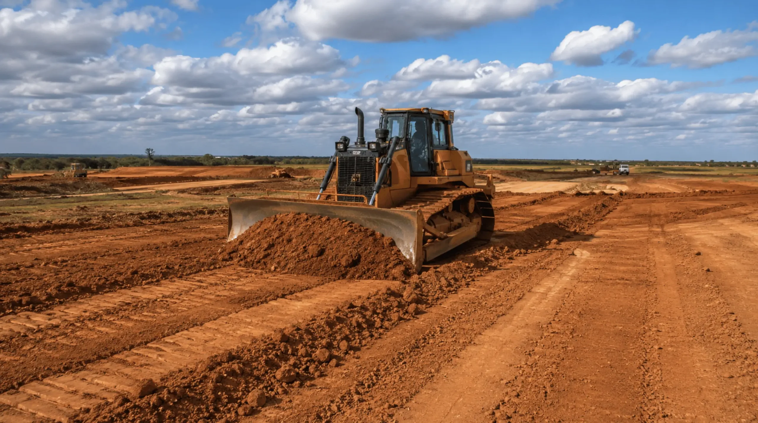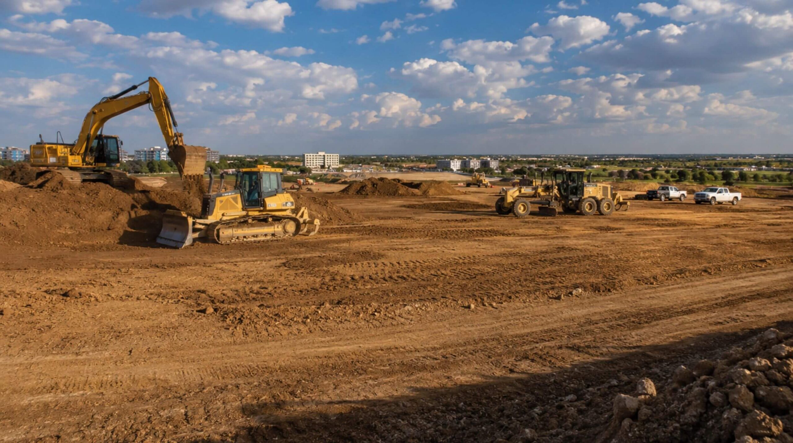

Dirt work is a plain phrase for a job that changes every time you cross a county line. The machines are the same. The specification is often the same. What the ground does when you cut it, load it, wet it and roll it is not, and neither is the number of workable days you will get between the day you mobilize and the day the pad is due.
This article puts numbers under both of those. The first half reads the ground from the USDA's own soil series descriptions, deliberately outside the black clay that gets all the attention, because the series on the other side of Fort Worth behave differently and the metroplex sits on the boundary. The second half tabulates 52 years of monthly rainfall from the National Weather Service record and draws the scheduling conclusion the averages hide.
North Texas is two earthwork regions, and the seam runs through the metroplex
East of a line that runs roughly through Fort Worth, the ground is Blackland Prairie: deep, dark, calcareous clay. Texas Parks and Wildlife's boundary for that region runs as far west as the eastern portions of Denton, Hill and McLennan counties3. West of it begins the Cross Timbers and Prairies, about 26,000 square miles across north and central Texas, where nearly all the surface rock is Cretaceous, elevations run from 500 to 1,500 feet, and the soils change by sub region: the East Cross Timbers is described as slightly acidic, sandy or sandy loam, the Fort Worth Prairie as thin soil over hard layers of resistant limestone, and the West Cross Timbers as a mix of sandy loam in places and limestone surface formations with shallow clay soils in others2.
Read that as an earthwork contractor and the practical consequence is immediate. A Dallas side site is a moisture and volume problem: deep clay, no rock, everything decided by water content and compaction. A Fort Worth side site can be a rock problem at two feet, because the soil over the limestone is thin2. Same metropolitan area, same drawings, two different pieces of equipment leading the job.
Surface texture does not tell you what you will be grading in
The single most expensive assumption a contractor can bring into this region from somewhere else is that a sandy surface means a sandy site. Four series outside the Blackland, read from their Official Series Descriptions, show why.
| Series | Landform | Surface texture | Clay in the control section | Permeability | Runoff | What it means on a job |
|---|---|---|---|---|---|---|
| Windthorst | Summits, shoulders and backslopes of ridges on hills; slopes 1 to 12 percent; formed in sandy and clayey residuum weathered from Cretaceous claystone and sandstone4 | Very fine sandy loam4 | 35 to 45 percent4 | Moderately slow4 | Medium on 1 to 5 percent slopes, high on 5 to 12 percent4 | Drives like sand, cuts into clay. The topsoil strip changes the material you are working with. |
| Axtell | Treads and risers on stream terraces; slopes 0 to 12 percent; clayey Pleistocene alluvium from mudstone5 | Very fine sandy loam over an abrupt texture change at 6 to 19 inches5 | 35 to 50 percent, smectitic5 | Very slow5 | High on slopes under 1 percent, very high on 1 to 12 percent5 | The worst surprise on this list: a sandy surface, then expansive clay within half a foot, with almost no permeability under it. |
| Silawa | Nearly level to strongly sloping Pleistocene stream terraces; slopes 0 to 12 percent; sandy and loamy sediments6 | Fine sandy loam6 | 18 to 35 percent6 | Moderate6 | Negligible under 1 percent, low on 3 to 5 percent6 | The ground that keeps working after a rain. Drains, compacts predictably, forgives a wet week. |
| Norwood | Flood plains; slopes mainly 0 to 1 percent; reddish calcareous loamy alluvium7 | Silt loam or loam7 | 20 to 35 percent7 | Moderate7 | Negligible under 1 percent7 | Works well and floods. Flooding is described as rare to frequent except where levees protect it, and bedding planes or buried horizons sit in most profiles7. |
Windthorst and Axtell are the lesson. Both present at the surface as a very fine sandy loam. Both carry between 35 and 50 percent clay in the particle size control section45. On Axtell the change is abrupt, arriving somewhere between six and nineteen inches down, and the clay below it is smectitic, the mineral family that swells5. A contractor who bids that site off a walkover, sees sand, and prices a sandy site has priced the first six inches of it.
Norwood carries a different warning. It is good ground to work, well drained and moderately permeable, and its description records bedding planes or buried horizons in the majority of profiles7. Buried horizons mean the bearing material changes with depth in ways a single boring may miss, which is a reason river bottom sites get more borings rather than fewer.
All of this is public before anyone mobilizes. The National Cooperative Soil Survey's data is online through Web Soil Survey, which covers more than 95 percent of the nation's counties8, so the series under a site and its measured properties can be read at the bid stage. We read it before we price work in a county we have not worked in recently, and we read it again against the geotechnical borings when they arrive.
The calendar is the other half of the job
Soil decides what the work is. Rainfall decides when it can happen. For clay, those two are the same variable, because a clay subgrade that takes on water cannot be compacted until it gives that water back, and it gives it back slowly. Axtell's permeability class is very slow5; Windthorst's is moderately slow4. Water that arrives on those soils stays in the working zone.
The table below is built from the National Weather Service's own monthly precipitation record for Dallas/Fort Worth International Airport, using the 52 complete calendar years from 1974, when the record moved to the current airport station, through 20251. Traces are counted as zero. The mean and the median are both shown on purpose.
| Month | Mean | Median | Wettest on record | Driest on record | Years with 4 inches or more |
|---|---|---|---|---|---|
| January | 2.28 | 1.95 | 6.18 (2012) | 0.00 | 10 of 52 |
| February | 2.56 | 2.21 | 11.31 (2018) | 0.35 | 5 of 52 |
| March | 3.22 | 2.80 | 7.39 (2002) | 0.07 | 15 of 52 |
| April | 3.22 | 2.78 | 6.90 (1990) | 0.11 | 15 of 52 |
| May | 5.13 | 5.46 | 16.96 (2015) | 0.70 | 30 of 52 |
| June | 3.41 | 2.97 | 11.10 (2007) | 0.34 | 13 of 52 |
| July | 1.96 | 1.79 | 5.54 (2007) | 0.00 | 5 of 52 |
| August | 2.30 | 1.87 | 10.68 (2022) | 0.00 | 13 of 52 |
| September | 2.47 | 1.63 | 12.69 (2018) | 0.00 | 10 of 52 |
| October | 4.05 | 3.25 | 15.66 (2018) | 0.00 | 21 of 52 |
| November | 2.52 | 1.96 | 9.86 (2015) | 0.02 | 11 of 52 |
| December | 2.44 | 2.37 | 8.75 (1991) | 0.08 | 10 of 52 |
Three things fall out of that table, and none of them is visible in an annual average.
May is the month to plan around, not October. May has both the highest mean and the highest median, and in 30 of the 52 years it delivered four inches or more1. It is the only month whose median exceeds four inches. A grading schedule that puts the critical clay lifts in May is betting against a coin that has come up wet more often than not for half a century.
Where the mean runs well above the median, the rain arrives as events. September averages 2.47 inches but its median is 1.63, because one September delivered 12.69 inches1. October averages 4.05 against a median of 3.25, for the same reason: 15.66 inches in 20181. A month like that is not a month of drizzle that slows you down. It is three dry weeks and one week that takes the site out, refills the detention pond and undoes the moisture conditioning on every exposed lift.
The year you get is not the average year. Across those 52 years the annual total ranged from 18.97 inches in 2005 to 62.61 inches in 20151. That is the same airport, the same rain gauge, and a factor of more than three. Any schedule built on a normal year is built on a number that half the record disagrees with.
Where soil and calendar multiply
Put the two halves together and the regional differences stop being academic. Four inches of rain on Silawa, with moderate permeability and negligible runoff on flat ground, costs a day or two6. The same four inches on Axtell, where permeability is very slow and runoff is high even on slopes under one percent, costs considerably more, because the water that does not run off has nowhere to go but into the working zone5. The forecast is identical. The schedule impact is not, and it is the soil map rather than the weather map that tells you which one you are on.
That is what we plan around, and it shapes decisions that look unrelated to weather. Which lifts get placed first, so the ones that matter most are in and tested before the wet month. Where the haul road runs, and whether it gets a stabilized running surface early so the site is still drivable after a storm. Where the stockpiles sit, so they shed water instead of holding it. Whether a pad gets sealed and rolled tight at the end of a Friday when there is rain in the forecast. Whether the drainage that the plan builds for the finished site can be made to work for the site as it is halfway through the grade. None of that is in the specification. All of it is the difference between a schedule that holds and one that reports weather days.
What we ask for before we price work anywhere in the region
The civil plans and the geotechnical report, because those set what has to be built and to what standard. The site address, because that is what lets us read the soil survey for the series actually under the footprint8. Whether any part of the site is in mapped flood hazard, because river bottom ground that works beautifully in July is a different proposition in a wet spring, and the series that sit there carry flooding in their own descriptions7. And the date the next trade needs the pad, so we can say honestly which months of that schedule are working months on that particular ground and which ones we will be watching the radar for.
IRONWILL Earthworks grades commercial, industrial, municipal and federal sites across Texas and Oklahoma from its base in Dallas. We read the ground before we price it, we build the schedule around the months this region actually gets, and we say which parts of a program are weather exposed before the contract is signed rather than after.